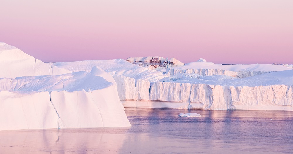
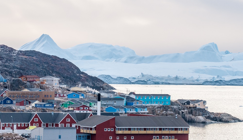
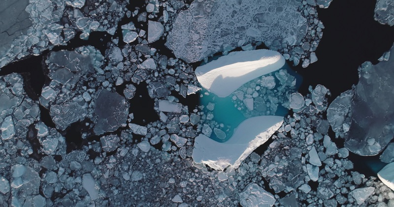
Another concern is the impact on stability in the fjords. When the land rises and the sea level drops, it can destabilise the surrounding slopes, increasing the risk of landslides. This has already been observed in Greenland, with some tragic events where people died. One tsunami triggered by a landslide in the north of Disko Island washed through an entire village, so some regions are now under continuous monitoring. Additionally, land uplift can increase seismic activity, which was seen in post-glacial Scandinavia and is now occurring in Greenland. While the local sea level dropping is more of a practical concern for infrastructure, the biggest concerns are farther afield. The low-lying nations and coastal areas of the world in the tropics are going to see the worst impacts of the melting ice sheet.
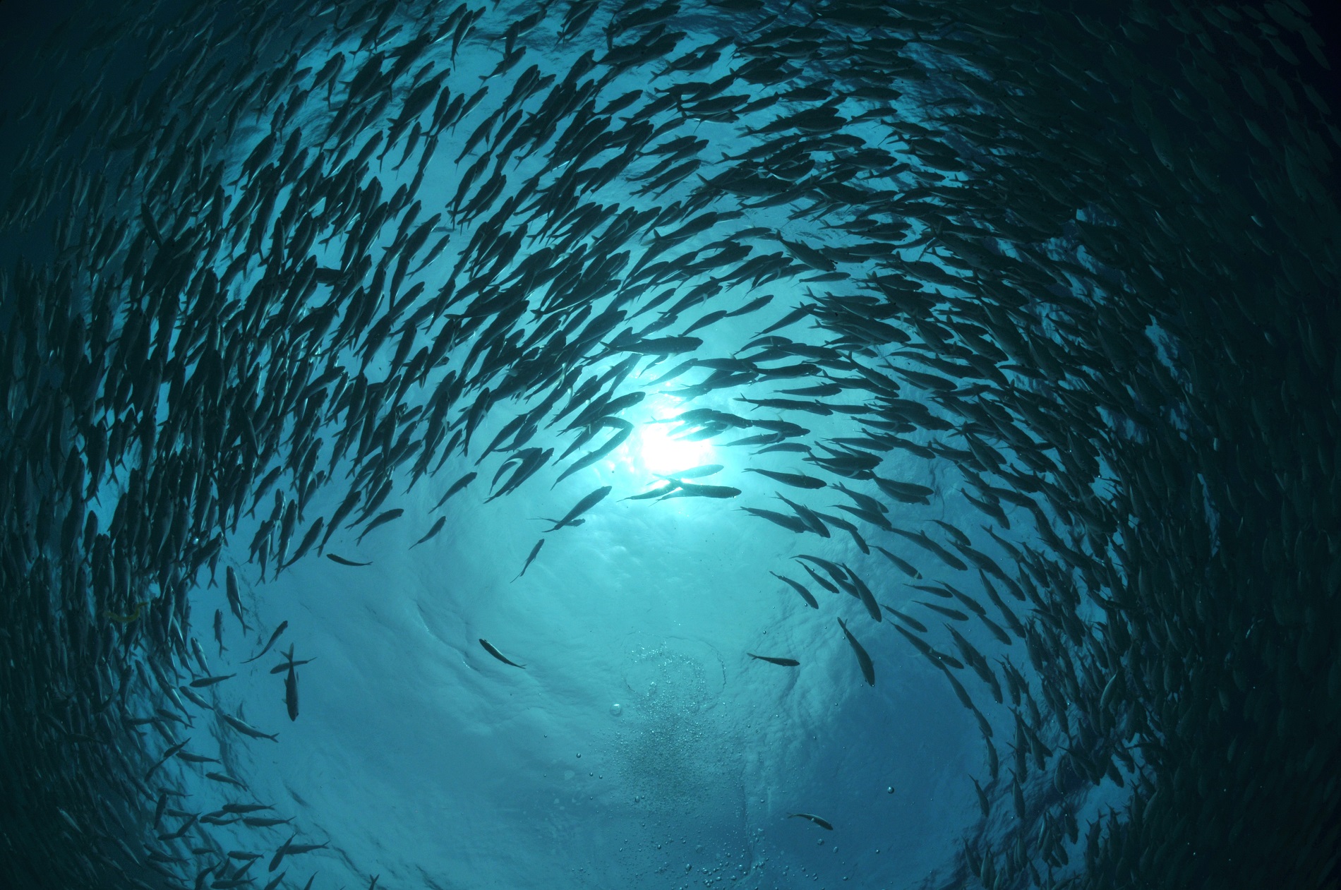
Glacier melt also affects ecosystems by creating a surface layer of fresh water in the fjords, which could impact species accustomed to saltwater. More importantly, nutrient-rich water emerges from beneath the glacier. Most meltwater travels through crevasses and moulins, eventually reaching the base of the glacier before entering the fjord. This subglacial water is rich in nutrients and sediments, enhancing productivity in the fjord ecosystem. As a result, glacier-fed fjords are highly productive environments, so this could even have some positive effects, but the effects are still being studied.


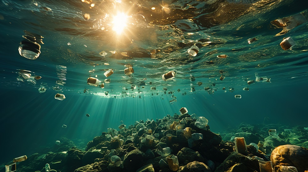
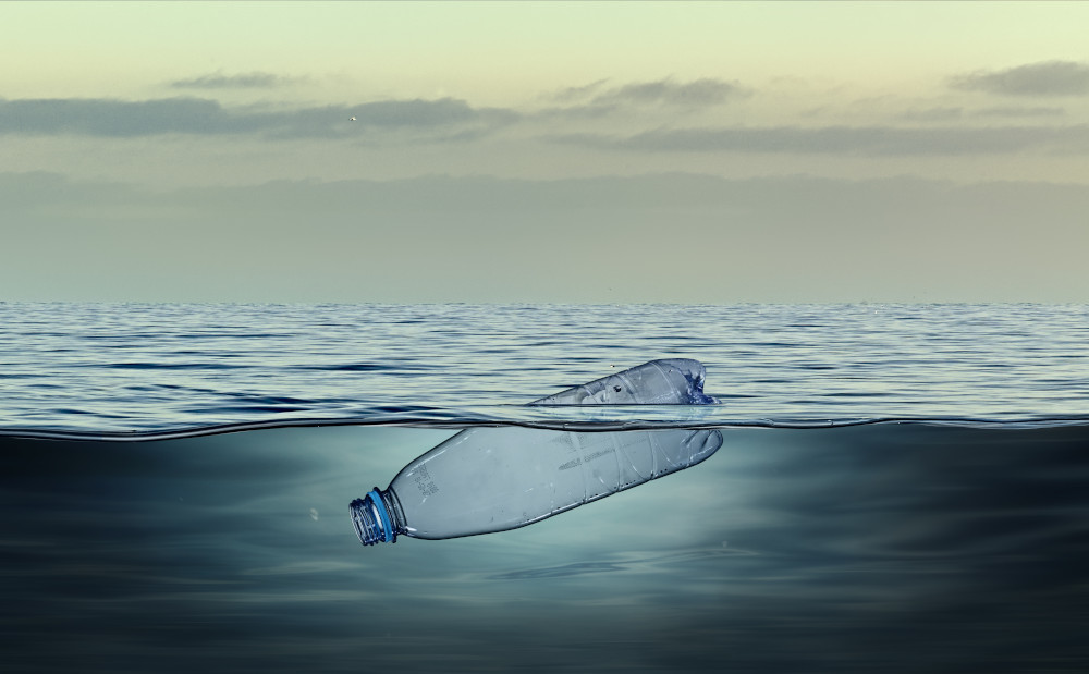
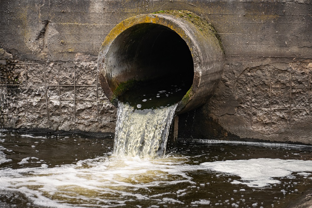 The scourge of untreated wastewater
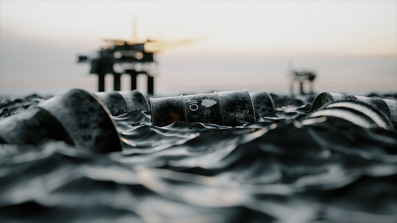 Slowing
the chemical tide: safeguarding human and ocean health amid
chemical pollution
Slowing
the chemical tide: safeguarding human and ocean health amid
chemical pollution Hazardous chemicals in plastics - the discussions at INC